Santa Rosa Creek Trail
Adjacent to the Fiscalini Ranch Preserve lies the Santa Rosa Creek Trail, a creekside path through a dense riparian corridor. Walking along the mostly flat trail you’ll be surrounded by Cambria’s famous Monterey Pines, one of only three such native pine forests in California. The path also offers views of open meadows and hikers can opt for a two-mile out and back route, or connect to other paths within the Preserve that offer ocean views.
Popular with locals, the Santa Rosa Creek Trail is less impacted by travelers along Highway 1 than other more famous hikes. Because of its proximity to Highway 1, hikers will encounter some road noise but for the most part the path offers solitude and the sights and sounds of the namesake creek.
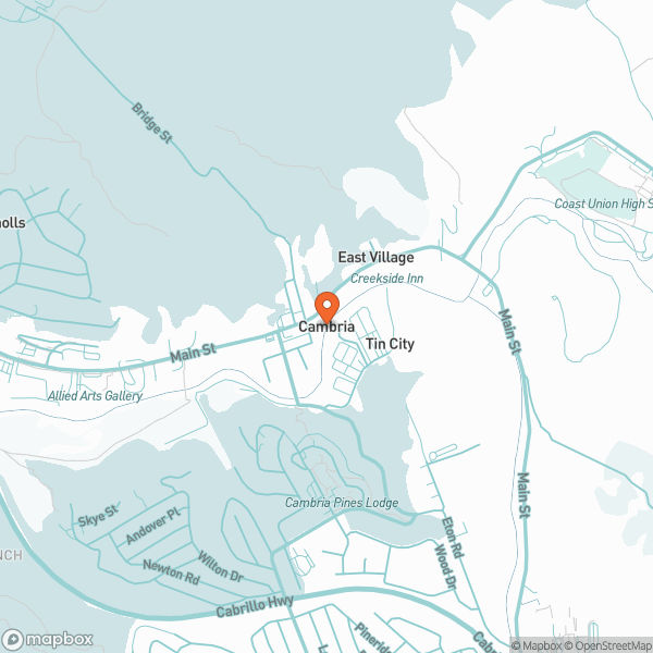
The trailhead is a short walk from Moonstone Beach Drive; trailhead parking is limited. Before you reach the Windsor Boulevard bridge and Highway 1, there is a wide trail to the right near the Water Treatment Plant that runs along and above the west side of Santa Rosa Creek. Wet in winter with two steep portions. The trail goes up the hill to Huntington Road (between addresses 678 and 682). Distance: approximately 3/4 miles each way. Moderately difficult portions. This trail reaches the Fiscalini Ranch near the Ridge trail.
Directions: Windsor Boulevard north until you see the Cambria Water Treatment Plant on the right, pull in and park. The trail is straight ahead on the right.
.9 miles from the north entrance of Fiscalini Ranch Preserve