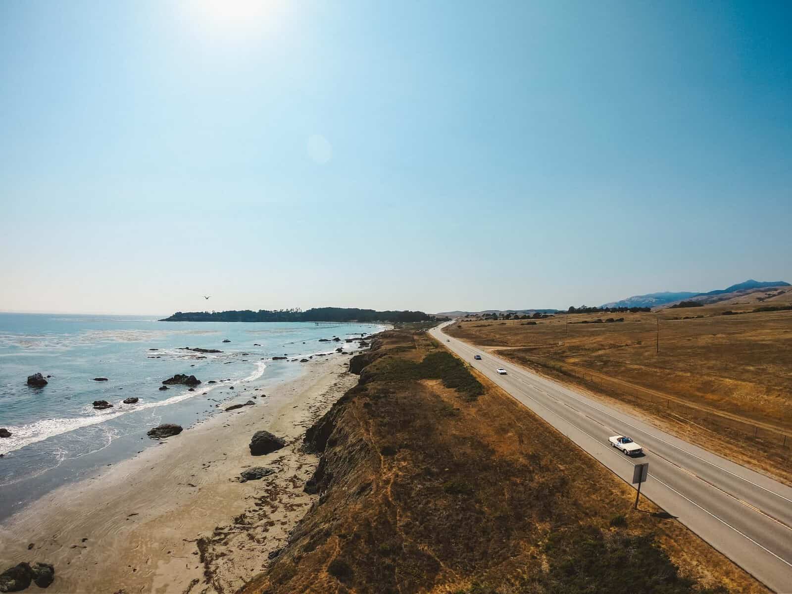
Highway 1 is open end-to-end again, reconnecting California’s most iconic coastal route through the dramatic Big Sur coastline—from San Luis Obispo County to Monterey County. As the southern gateway to the Big Sur experience, SLO CAL is where the epic journey naturally begins for travelers coming from the south—anchored by iconic viewpoints, pristine beaches, and authentic coastal towns. Now, with the entire route connected once again, it’s time to experience the full scope of Highway 1 at a slower pace: linger for the views, stay for the towns, and let the coastline unfold chapter by chapter.
Current Road Conditions
Highway 1 in San Luis Obispo County has remained open the entire time, and visitors never stopped experiencing the gateway to Big Sur from SLO CAL.
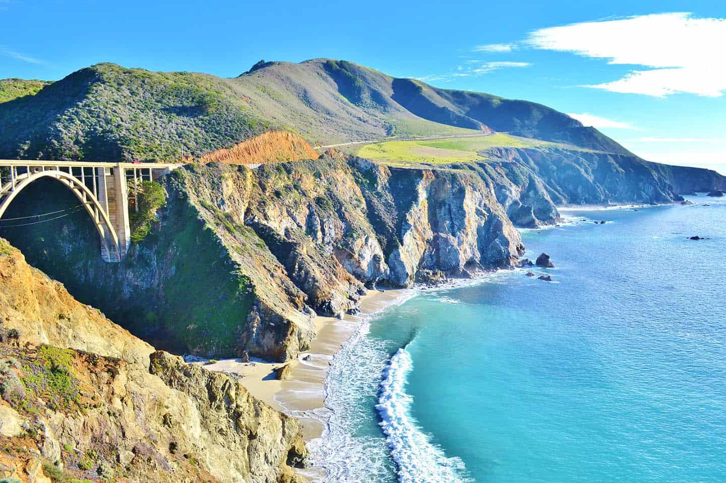
The complete Big Sur coastal journey is now connected end-to-end. On January 14, 2026, Caltrans reopened the final 6.8-mile section at Regent’s Slide in Monterey County, restoring full continuity along California’s legendary coastal route.
This reconnection celebrates the return of uninterrupted travel from SLO CAL’s southern Big Sur coastline through the northern reaches in Monterey County. Throughout the past three years of slide activity, Highway 1 through Ragged Point, San Simeon, and Cambria remained open and welcoming, with visitors continuing to enjoy coastal access, iconic viewpoints, beaches, and communities without interruption.
The closure affected only 6.8 miles of roadway in Monterey County, a small but critical link that has now been restored, allowing the entire Big Sur coastal experience to flow once again from start to finish.
For the most current road conditions and travel advisories, visit the Caltrans website before your trip.
Reopening Updates
Full Connection Restored: January 14, 2026
Affected Area: Regent’s Slide area, Monterey County
SLO CAL Status: Always remained open and accessible
SLO CAL is the southern gateway where the Big Sur experience naturally begins for travelers coming from the south. Communities like Ragged Point and San Simeon are integral to the Big Sur journey, and this reconnection now allows visitors to experience the complete coastal drive from the southern stretch through the northern reaches.
This milestone reflects Caltrans’ unwavering dedication to reopening Highway 1 safely and ahead of schedule, which allows the entire coastal experience to move forward together.
Things to Do on Highway 1
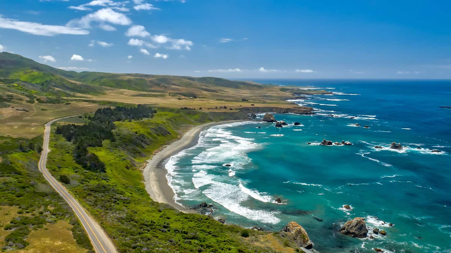
Highway 1 through SLO CAL offers an abundance of coastal treasures that have continuously delighted visitors. This spectacular 85-mile stretch showcases why California’s coastline draws travelers from around the globe, and now that the full route flows freely again, you can design the perfect coastal itinerary.
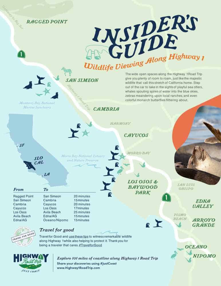
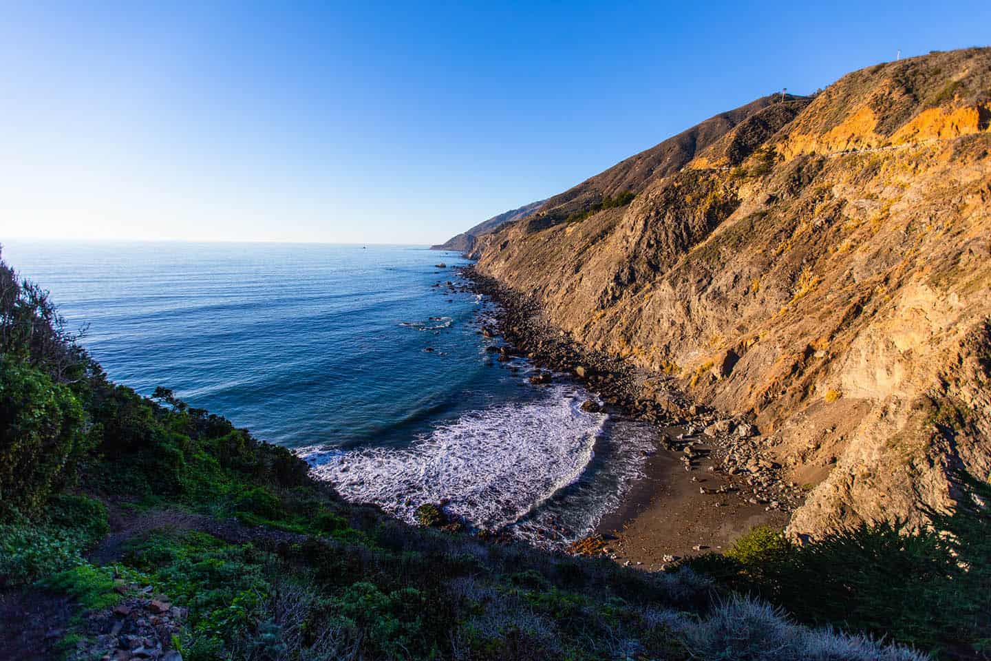
Start your journey at Ragged Point, where dramatic clifftop panoramas reveal the raw beauty of the coastline. The majestic Hearst Castle invites exploration of one of America’s most opulent estates. Meanwhile, the San Simeon Elephant Seal Rookery provides fascinating wildlife encounters year-round. Cambria entices with its moonstone beaches, forest trails, and artisan shops that capture the essence of coastal living.
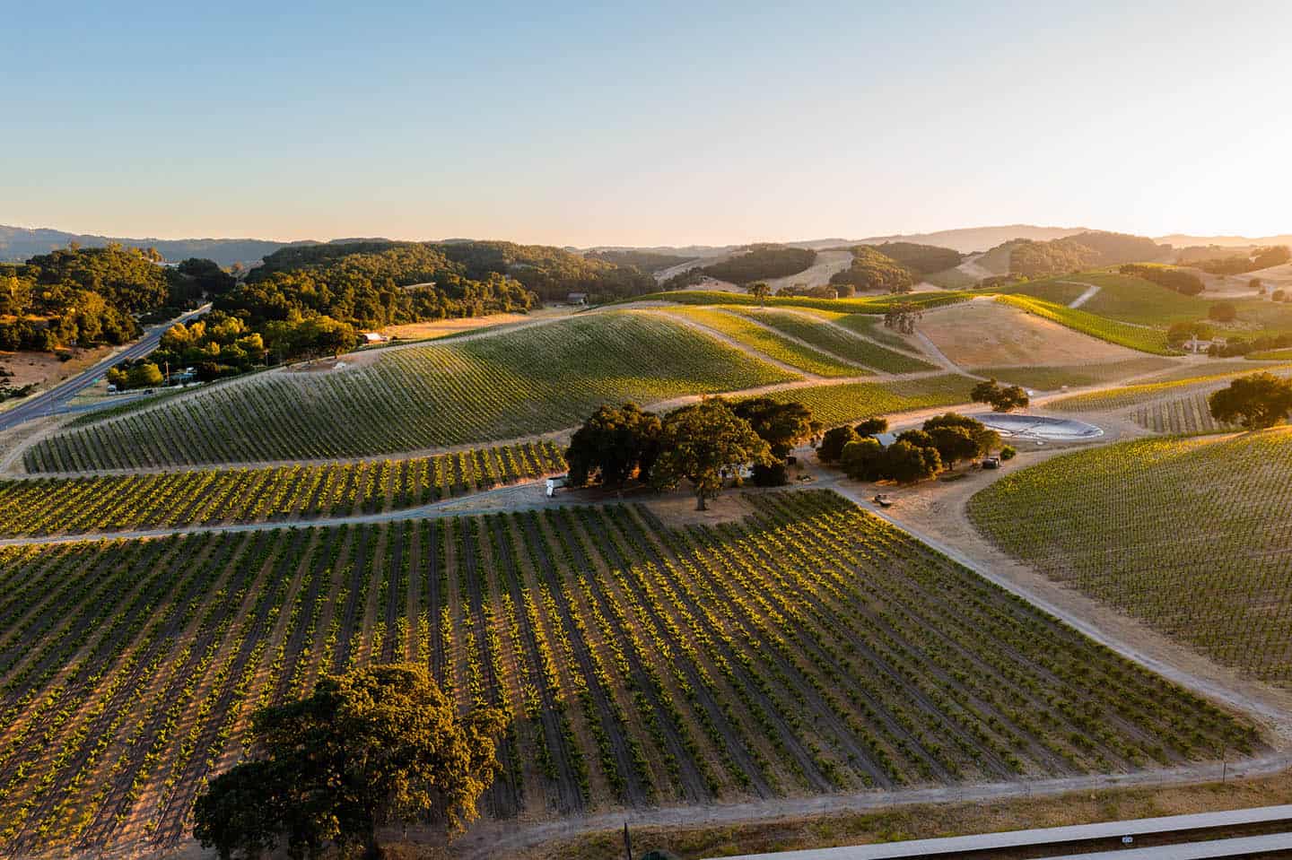
Venture south to discover welcoming beach towns brimming with character. Catch waves in Cayucos and Morro Bay, savor fresh seafood at waterfront restaurants, or seek adventure in the Nipomo and Oceano dunes. Each community offers its own personality and attractions, from tide pooling and lighthouse tours to wine tasting and farmers’ markets.
Whether you’re drawn to outdoor adventures, cultural attractions, or simply soaking in ocean views, this coastline delivers diverse experiences. Photography enthusiasts will find endless inspiration, while families can choose from beaches terrific for children or challenging hikes for seasoned wanderers.
Now that travelers can once again journey the full length of this legendary route, you have the freedom to craft a road trip that showcases the best of California’s coastal spirit. From quick day trips to extended discoveries, Highway 1 offers limitless potential for exploration.
Support Local Businesses
With the complete Big Sur experience now connected end-to-end, it’s an ideal time to support the coastal communities that remained accessible throughout. Visit Ragged Point, San Simeon, Cambria, and surrounding areas where local businesses have continued welcoming visitors to the southern Big Sur experience.
These communities offer authentic experiences that complement the natural beauty of the coast, from oceanfront dining to one-of-a-kind local shops. The reconnection allows visitors to once again plan complete coastal itineraries with extended stays and through-travel opportunities, benefiting all the communities that make this legendary journey special.
See you on Highway 1
California’s premier coastal drive is complete again. Highway 1 through San Luis Obispo County has continuously welcomed visitors, providing access to captivating seaside communities, outstanding restaurants, distinctive shopping, and remarkable wildlife encounters along this spellbinding stretch of coastline.
From the vistas at Ragged Point to the famous elephant seal rookery in San Simeon and the charming village atmosphere of Cambria, this region has always been an essential part of the coastal journey. Now, with the route fully restored, road trippers can once again travel seamlessly from the southern reaches through to the northern coastline in a single, unbroken adventure.
Whether you’re seeking a quick coastal escape or planning an extended California road trip, Highway 1 demonstrates why it ranks among the planet’s most celebrated drives. The entire coastline stands ready to welcome explorers.
