Our unique stretch of Highway 1 along the California coast is more than the famous overlooks. Between rugged cliffs and rolling surf you’ll find secret coves, quiet trails, and small towns where time slows. Slip onto remote beaches with tide pools that teem with life, wander redwood groves just steps from the ocean, and refuel at roadside spots serving fresh seafood and local wine.
Along Highway 1 in SLO CAL, every bend brings something new—historic lighthouses, tucked-away waterfalls, and crowd-free viewpoints with pure Pacific in every direction. Ready to Just Coast?
This guide keeps it simple: five low-effort ways to see more—short walks, easy viewpoints, and local stops you can string together in a single day. Grab the map, pick a couple of stops per section, and leave routine in the rearview.
1. Picture Yourself Here: Sunrise & Sunset Vistas
Why go: Big views, easy pullouts, and that golden-hour glow.
Best bets
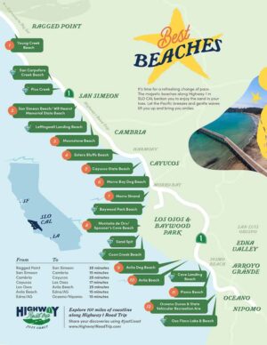
- Ragged Point Portal – Natural rock “window” and sweeping cliff-top views.
- Piedras Blancas pullouts (San Simeon) – Endless horizon, lighthouse in the distance.
- Moonstone Beach Boardwalk (Cambria) – Easy-to-access overlooks with room to breathe.
- Estero Bluffs turnouts (north Cayucos) – Wild shoreline with minimal crowds and a sunken shipwreck.
- Cayucos Pier – Classic wood-plank silhouette; grab a treat in town after.
- Morro Rock – Otters + sunset color on the bay.
- Bluff Trail lookouts (Montaña de Oro, Los Osos) – Sea cliffs and thundering surf.
Pro tips
- Golden hour hits different on foggy days — soft light, dreamy photos.
- Stay back from cliff edges; avoid wet or undercut rock.
- Pack a small tripod if you want silky-water shots.
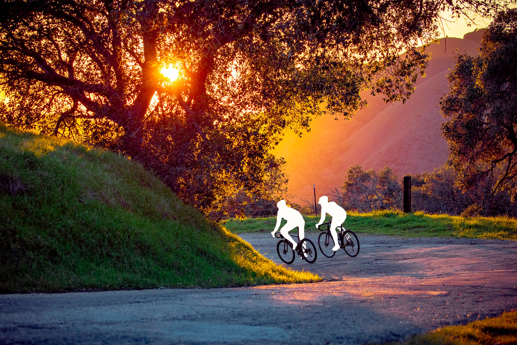
2. Get Out of the Car: Short Walks & Bite-Size Hikes
Why go: 10–60 minutes off the highway = big payoff.
Easy wins
- Black Swift Falls Trail (Ragged Point) – Steep cliffs, big panoramas, black sand, and a seasonal waterfall. Plus dogs allowed on leash.
- Harmony Headlands Trail – Gentle path to a secret-feeling cove.
- Estero Bluffs State Park Beach & The Cayucos Shipwreck – Bluff trails, pocket beaches, tide pools, prime birdwatching, and a real shipwrecked fishing boat.
- Bluff Trail (Montaña de Oro) – Choose your distance; views start right away.
- Guadalupe-Nipomo Dunes (Guadalupe) – Boardwalk and trail past Oso Flaco Lake, grasslands, and coastal scrub to a wide, rolling beach; short stroll or full 5.2-mile out-and-back.
Pro tips
- Check the tide chart for tide pools.
- Closed-toe shoes help on sandstone and cobble.
- Leave No Trace. Travel for Good: stay on marked trails—coastal vegetation is fragile.

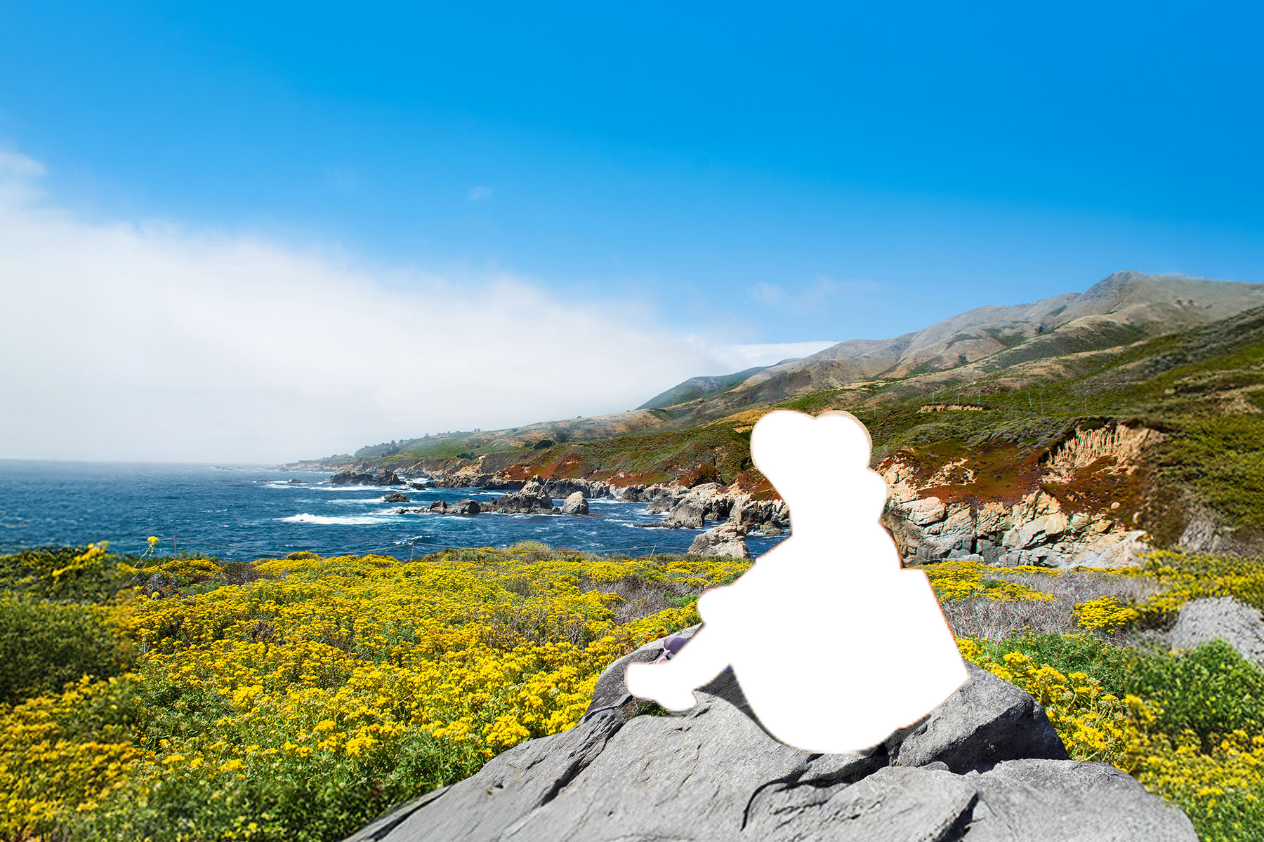
3. Step into the Story: Coastal History and Wildlife
Why go: Lighthouses, working waterfronts, and wild neighbors.
Don’t miss
- Piedras Blancas Light Station (San Simeon) – Guided tours with coastal history.
- Point San Luis Lighthouse (Avila Beach) – Hike-in or shuttle tours with unbeatable views.
- Elephant Seal Vista Point – Pups in winter, molting in spring, action year-round.
- Whale Trail Viewpoints – Seasonal gray whales, humpbacks, and dolphins.
- Sea Otter Watching – Look near kelp beds; keep a respectful distance.
Pro tips
- Bring binoculars.
- Use pullouts for viewing; never stop on blind curves.
- Travel for Good: Wildlife viewing works best when you’re quiet and patient.

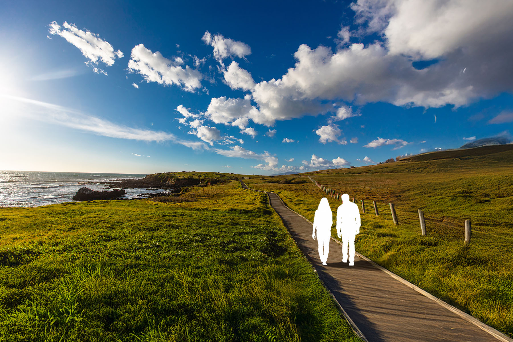
4. Find a Place That’s All Yours: Quiet Beaches & Coves
Why go: Lower-traffic nooks for reading, picnics, or just listening to waves.
Ideas
- San Carpoforo Creek Beach (San Simeon) – Uncrowded shore at the northern edge of Hearst San Simeon State Park with portions in Los Padres National Forest; follow the creek to the ocean and cross carefully to reach the waves; check tide and creek flow.
- Leffingwell Landing (Cambria) – North end of Moonstone Beach; scenic bluff-top picnic spot; path down to tide pools; watch for migrating whales in season.
- Sandspit (Montaña de Oro, Los Osos) – Long barrier beach protecting Morro Bay; walk for Morro Rock views and into Morro Dunes Natural Preserve; frequent wildlife; surfers on good swell.
- Cave Landing Beach (Avila Beach / Pirate’s Cove) – Adventurous, view-filled drop beneath Smuggler’s Cave; access via a steep use trail from the Pirate’s Cove lot with a short rope-assisted descent; wear good-traction shoes; avoid when wet; check tide and surf.
- Oso Flaco Lake & Beach (Oceano) – Boardwalk from farm fields to lakeshore, dunes, and a wide beach; birding hotspot and photographer favorite; gentle, family-friendly path—stay on designated trails to protect habitat.
Pro tips
- Watch for sneaker waves; keep gear above the high-water line.
- Travel for Good: Pack out everything — even orange peels.
- Cell service can be spotty; download maps ahead.

5. Download our Maps and JUST COAST
- Hidden Secrets Map – Pin these stops and save offline.
- Best Beaches – The best beaches from Ragged Point to Oceano/Nipomo
- Wildlife Viewing – What to see at low tide and where to see it.
- Hiking Map – Trailheads and viewpoints.
- The Best of Highway 1 – Signature viewpoints, iconic stops, classic eats, and can’t-miss detours—your greatest hits in one map.
Out here, the best parts are simple: hot coffee on a cool morning, otters weaving through kelp, a bluff bench at golden hour. Our stretch of Highway 1 in SLO CAL shines when you take it slow—pull over for the view, wander the short trail, and linger in the little towns.
Ready to leave routine in the rearview? Download the Hidden Secrets Map, save it offline, star your stops, and start planning your Highway 1 Road Trip and Just Coast.